
Search Anoka County Streets
Use the county’s address tools as a sequence, not as one combined answer. A parcel search is the best way to anchor a current location. A recorded instrument follows title, while a directory entry can provide a dated household clue. Anoka County’s election records have their own rules and should not be treated as an open street roster. The practical goal is a small, dated evidence trail that identifies what each source actually proves.
- Start at Anoka County Property Information, then use the GIS address route to locate the physical parcel and its municipality.
- Record the PIN, situs address, legal description, map position, and search date. Keep the site address separate from any owner or tax-mailing information displayed.
- For a title question, use the Recorder/Registrar’s recorded-document route to search the known owner in both grantor and grantee directions, saving the instrument number and recording date.
- For a lawful election-geography question, use the county precinct finder or the restricted state voter-list process. A street-sorted report is not a general public directory.
- For a past household, compare the same street or address in an Anoka directory or telephone book, then test it against a deed, plat, newspaper, or map.
That order keeps the Anoka County street directory grounded in an address first. It also avoids turning an ownership record into an unsupported claim about everyone at a home. Note: A current portal result can change, so preserve the source date with the PIN or document number.
Anoka County GIS Street Fields
Anoka County GIS Property Search documents two ways into a parcel: a Property ID or PIN, or an address made from a house number and full or partial street name. The county’s search tip gives a dashed PIN example and says the address route needs both number and street name. Its public GIS description also names parcel, address, road, ZIP, precinct, plat, aerial, and boundary layers. The research did not expose the live control labels, so a street directory search should use only the documented fields below.
| GIS field | Input | When used | Documented note |
|---|---|---|---|
| Property ID / PIN | Text | Alternative to address | Use the dashed parcel format shown by county guidance. |
| House number | Numeric text | Address route | Pair it with a street name. |
| Street name | Text | Address route | A full or partial street name is supported. |
| Municipality / layer | Map or selection control | Optional context | Parcel, road, ZIP, precinct, plat, aerial, and boundary layers are documented; exact labels were not exposed. |
A screenshot of the Anoka County Property Access portal shows the public landing state captured for this Anoka County street directory.
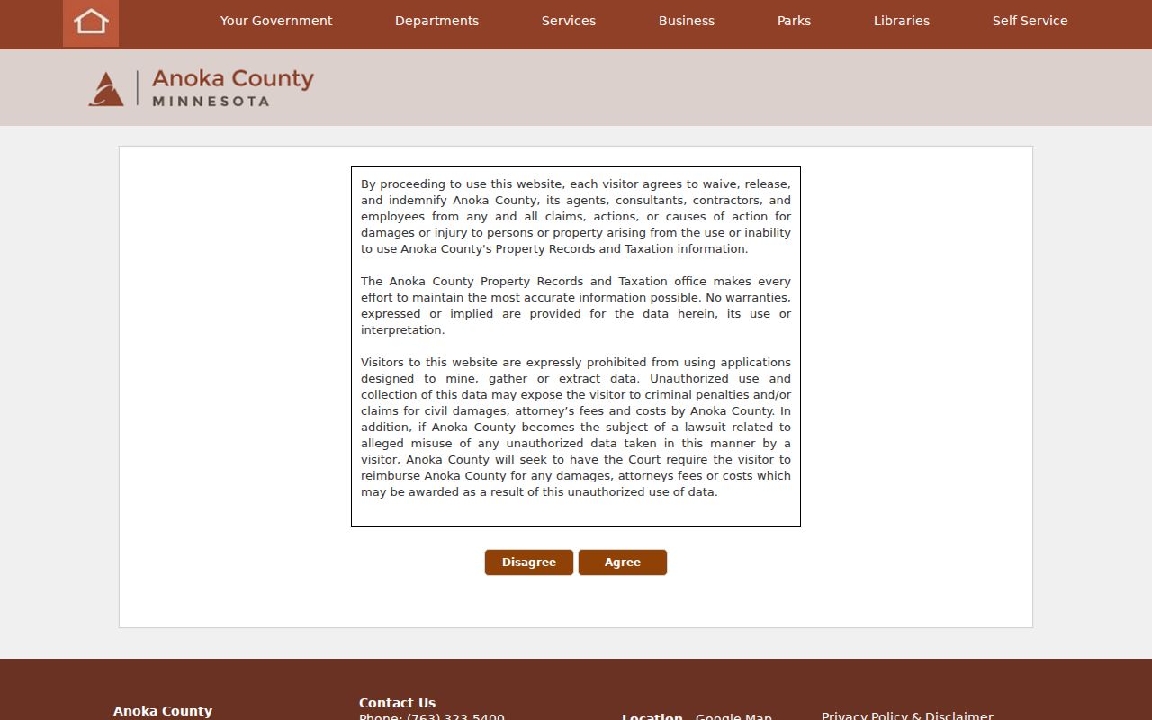
During research, Property Access was presenting maintenance and disclaimer material, so its exact search fields and result labels were not available for inspection. A blank or blocked screen is not a no-record response. Move to GIS or the public research terminals before drawing a conclusion from the portal’s condition.
Anoka County Street Directory Records
Address-keyed sources overlap, but they do not say the same thing. The Anoka County street directory relies on the parcel as the bridge between map geography and land records. A street name can be a useful historical lead, yet it is less stable than a PIN or legal description when a lot has split, merged, or acquired a different postal label. Use the record set that matches the question, and retain the limitation when copying a result into notes.
| Address record | Coverage or date context | Useful fields or clues | Best role |
|---|---|---|---|
| County GIS parcel/address | Current GIS with historical aerial and plat layers | PIN, situs search, map, aerial, plat, half section, and boundaries | Translate an address into a parcel and municipality. |
| Property Access | Current tax, assessment, sales, and property information; online back-year not located | Property, tax, assessment, and sales information | Current owner or taxpayer lead, subject to displayed labels. |
| Recorded instruments | Permanent county archive; online start year not located | Grantor, grantee, document number, recording date, type, legal description, image | Trace title and a dated transfer. |
| Ownership plats and Sanborn maps | Plats from 1888, 1914, and 1932; Anoka Sanborn sets from 1885 and 1911 | Lot, block, building, street, and ownership geography | Reconcile an older address with parcel context. |
| Directories and telephone books | 1889–90, 1915, 1920–1950, 1953, and 1957 examples | Name, household or business, street, year, white-page or yellow-page context | Provide a dated address clue, not a complete household list. |
| City permit history | Current Baseline route; historic range not located | Permit process and jurisdiction clues | Test construction, alteration, or municipal custody. |
Recorded title belongs with the county’s recorded-document access routes. A person who receives tax mail or signs a deed may not be the person living at the situs address. Conversely, a directory can place a household at an address in one year without establishing title. Those distinctions make a street-by-street result more useful and more honest.
Anoka County Address Terms
Several small records terms matter when an Anoka County address is being compared across sources. A parcel is land identified for assessment and mapping. A legal description identifies the land through a lot, block, section, or other formal description. It is often the best bridge when a street number looks different in a later record. Keep those map and title terms separate from the household terms found in directories.
- Parcel or PIN
- The county’s property identifier, used to connect a mapped parcel with related property information.
- Situs address
- The physical location of the parcel. It is not necessarily the owner’s tax-mailing address.
- Plat
- A map or recorded layout that helps relate a lot and block to streets and surrounding parcels.
- Criss-cross directory
- An address-first directory arrangement. No official Anoka title or year run was verified, so confirm a holding before relying on one.
When a Property Access result groups fields differently, record the portal’s actual labels. The county research did not confirm the owner-name control or a standard historic assessment range. That gap matters: do not turn an unfamiliar mailing, owner, taxpayer, or sales label into a claim that the portal does not make.
Anoka County Street Deed Chain
For title continuity along an Anoka County street, begin with the current parcel rather than a surname alone. Use the map result to capture its PIN and legal description. Then search a known owner as a grantee in the recorded index, note the instrument number and recording date, and follow any prior reference backward. Search the same name as grantor to find the later transfer. Estate, trust, corporate, joint-owner, and surviving-spouse entries can explain a name change without proving a move.
The Recorder/Registrar’s archive includes deeds, mortgages, satisfactions, and other real-estate documents. Room 119 recorded-document access is the practical escalation when an online route does not expose the needed index or image. The county distinguishes the abstract and Torrens systems, and staff cannot supply legal advice. Treat an index hit as an index hit until the image or a certified copy confirms the instrument.
Note: The legal description and parcel map are stronger than a street name alone when a property has been divided or merged.
Anoka County Historic Street Names
Historic neighborhood vocabulary can help when an old street directory search seems to miss an address. Anoka planning and heritage material identifies Christian Hill, Swede Town, Wet Flats or Cutterville Flats, Northtown or Uppertown, Slab Town, Frog Town, Rum River, Fireman’s Grove or Point, and Whiskey Flats. Christian Hill and Van Buren are also identified as historic districts. These are useful terms for an Anoka County Historical Society catalog, newspaper, or directory search, not proof of a modern boundary or a present household.
Early records can use Rum River language instead of a modern street address. The county formed in 1857, Manomin was attached in 1869 and renamed Fridley in 1879, and neighborhood identities persisted into the 1940s. Those shifts explain why a place may appear under a settlement, township, river, or neighborhood label. Search the old term alongside the formal street spelling and a year, then compare the result with a plat or parcel description.
No official Anoka County or City of Anoka renumbering or renaming ledger was found. If a number appears to change, ask the relevant city clerk or building office for existing address-assignment, plat, permit, or council records and test both numbers against the legal description. A different number in a later directory is a lead, not proof of a renumbering.
Anoka County Street-Year Runs
An address-first historical search works best as a street-year run. In a city directory, inspect the street or numbered-address section when one exists, copy each entry exactly, and then check the name index for cross-references. In a telephone book, identify whether the entry is from the white pages or yellow pages. Compare the previous and next available volume instead of assuming that an apparent gap means nobody was there.
Anoka County Historical Society research resources provide the local shelf for this work. The verified sequence includes an 1889–90 city directory, a 1915 directory, telephone directories from 1920 through 1950, and 1953 and 1957 telephone-book examples. The collection notes gaps in the late 1910s, early 1920s, and around 1951–52. No complete official Anoka criss-cross run was located, so ask the archive whether an address volume is filed with telephone books or city directories.
Pair a street-run entry with the 1888, 1914, or 1932 ownership plats, or with the March 1911 Anoka Sanborn map. Sanborn sheets show buildings, streets, lots, materials, and use, but they do not name every resident. The strongest address chronology has a dated directory or household source, a property or map source, and an independent corroborator such as a newspaper or obituary.
Anoka County Room 119
Online access is only one channel. The Property Records & Taxation public research area in Room 119 at the Government Center has terminals for real-estate and tract records, Monday through Friday from 8:00 a.m. to 4:30 p.m., excluding holidays. It is a sensible fallback when Property Access is in maintenance, when an image is unavailable online, or when a researcher needs to inspect tract material rather than infer a result from a search screen.
For an occasional document request, the county advises asking staff for a document number before ordering. The office also accepts mail requests for a known document number, while frequent users may use the subscription route and the optical-image program supplies images separately from grantor-grantee index access. Call Property Records & Taxation at 763-323-5400 for help with post-1994 document-number identification. Check the current county fee schedule before requesting copies because the type of copy and the record system affect the route and amount.
Anoka County Address Jurisdiction
A street can cross a municipal, township, or postal-city line, so parcel geography should be confirmed before asking for permit or planning history. The City of Anoka Building Department directs users to the county parcel viewer to verify whether an address is within city jurisdiction. Its current Baseline system handles applications, processing, and payment; a record type not shown there may have a PDF, email, paper, USPS, drop-box, or in-person route through the department.
For a municipal request, identify the city or township, street number, approximate date range, and the existing permit, address-assignment, or planning record sought. For a county request, give the PIN or legal description if known. A precise request for existing material is more likely to reach the right custodian than a broad request for everyone ever connected with a street.
Anoka County Street Limits
A street directory can reveal property geography, title events, and dated directory clues. It cannot prove every person who lived at an address, continuous residence, or the meaning of an omitted result. Mailing address, property owner, recorded grantee, directory household, and voter are different record roles. Court, vital, and protected-address systems have their own access rules, and confidential data must not be reconstructed from neighboring records.
Privacy and lawful use. Keep requests narrow, omit unnecessary sensitive details, and never use Anoka County address information to stalk, harass, intimidate, or harm anyone. A protected address is not a missing-data problem to work around.
Minnesota’s Safe at Home program protects participant addresses, and its updated rules took effect in 2026. For public data held by a county office, use the Anoka County data-request route and identify the record type, date range, office, and format. Under the Minnesota Government Data Practices Act, a custodian can classify information as private or confidential and should cite the legal basis for a denial.